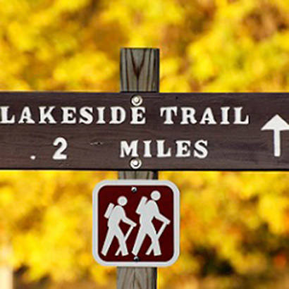
A notable feature of the Mid-Ohio Valley region of West Virginia is the vast collection of trails that wind through the area. The North Bend Rail Trail, American Discovery Trail, and network of trails along North Bend State Park are well-known destinations for hiking, biking, and family outings for thousands of people.
In an effort to increase physical activity among youth and adults, the West Virginia Recreation and Parks Association (WVRPA) worked closely with the Mid-Ohio Valley Health Department (MOVHD) to promote and improve the regions trails. One key initiative—implemented to support safer and more user-friendly trail usage—was the adoption of consistent signage throughout the six Mid-Ohio Valley counties of Calhoun, Ritchie, Wirt, Pleasants, Wood, and Roane.
In partnership with a multi-sectoral team, MOVHD and WVRPA are developing a plan establishing a comprehensive trail marking and identification system. The plan includes signs for every type of trail usage, with markers for trailheads, parking and staging areas, landscapes, interpretive and historical information, difficulty level, and way finding. Additional signs help people differentiate between destination trails, loop trails, and trail systems, and kiosks at strategic locations provide maps and interpretive information.
MOVHD and WVRPA have collaborated closely with a variety of partners, including the State Department of Highways, the North Bend Rails to Trails Foundation, and a host of regional park entities. To maximize outcomes, MOVHD is also collaborating with a variety of community partners, achieved in part through the development of the Change the Future West Virginia Coalition—in which all six Mid-Ohio Valley counties are represented.
The trail team is working with each of the participating counties to implement the signage plans. Fifty-six kiosks and 248 signs have been delivered; project leaders expect final installation for most of the signs to be complete by the end of 2012. The final signage plan will be presented for official adoption by each of the counties in the near future.
While many of the activities implemented by the trail signage project are focused on families, children, and underserved populations, the project is slated to directly impact more than 105,000 trail users. Ultimately, project creators hope to improve the quality of life for all residents and visitors in the Mid-Ohio Valley region through increased trail access and alternative transportation options, and increased opportunities for physical activity.
